Early Warning platform to visualise rangeland health for herders in Mongolia
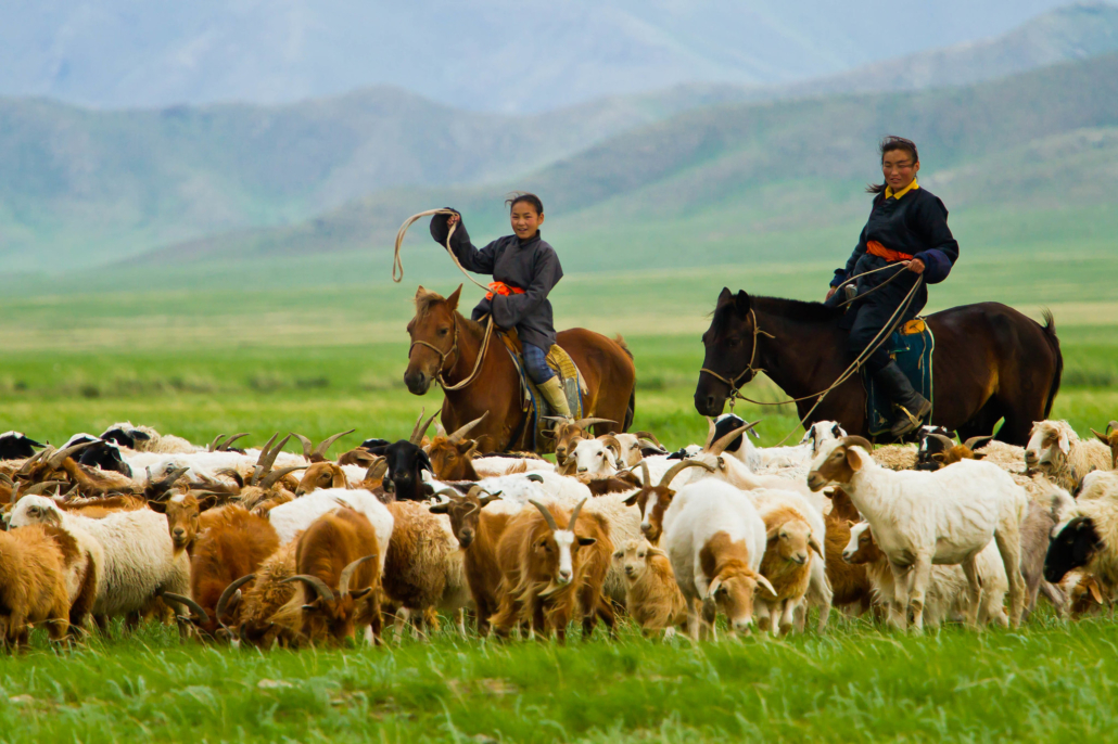
Knowledge of where the next major rangeland degradation will occur is crucial to the herders and policymakers that depend on this information. GreenZone aims to create a Carrying Capacity Early Warning System for Mongolian rangelands to combat degradation caused by overgrazing and climate change.
The Hack4Impact team at Cornell aims to help GreenZone by designing & developing a web-application that will:
- Collect and organize geoJSON map data from partners, ensuring accurate and up-to-date information.
- Display data as heat maps or graphs on an interactive map of Mongolia, with customizable layers based on user filters - Using Leaflet and D3
- Optimize the web app for reliable performance in areas with limited internet connectivity, to allow access for nomadic herders in remote locations. - Using Next.js
- Enable data persistence, allowing users to view historical trends in rangeland health over time. -Using MongoDB
These visualizations will provide the most up-to-date information about how healthy the rangelands are. Herders, government officials, NGO officers, insurance risk analysts, and data analysts will use this information to make informed decisions regarding rangeland management and how to prevent overexploitation (overgrazing & desertification). This will make this data more easily accessible to the public.
- Git clone the repo
- Yarn Build && Yarn run dev to get started
Folder structure
.
├── frontend      # Next.js App Router (leveraging server and client sided environments)
├── backend       # Express.js App Server
└── README.md
- Selena Zheng
- Sneha Rajaraman
- Ella Keen Allee
- Bella Besuud
- Brianna Liu
- Sonia Mar
- Srija Ghosh
- Tanya Aravind
- Daniel Thorne