Replies: 2 comments 1 reply
-
|
Can you please mention it in #1104? The tricky part is to leave the screen uncluttered. There is also related #3745 |
Beta Was this translation helpful? Give feedback.
-
|
Of course I'll do. And, with compass (under an option, because I know that is not usefull for everybody).
|
Beta Was this translation helpful? Give feedback.
-
|
Would be nice if the information can be configured like in the Navigator-App. |
Beta Was this translation helpful? Give feedback.
Uh oh!
There was an error while loading. Please reload this page.
-
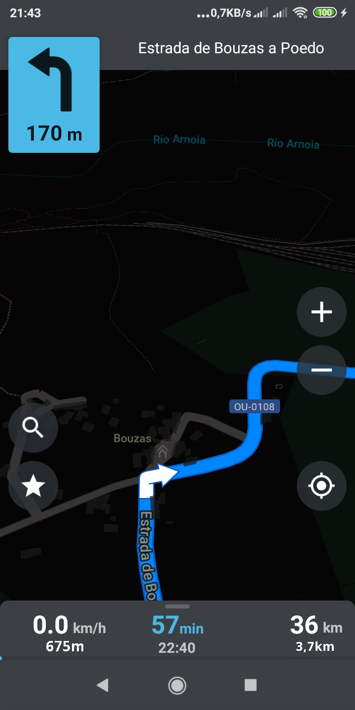
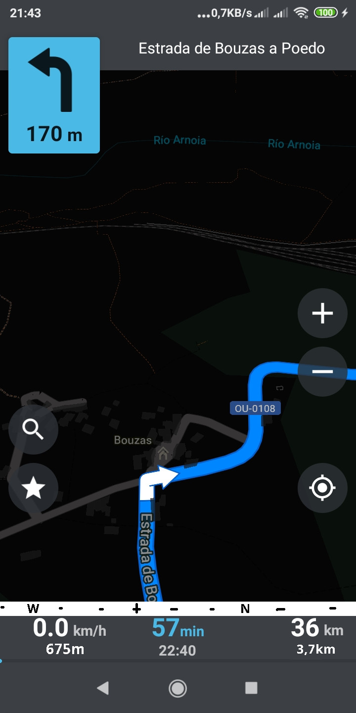
I appreciate the cleanliness of OM's navigation mode. However, I can think of a few improvements:
In the line under the speed (where it is now km/h) could be displayed the altitude, which is useful in regions with mountainous terrain.
In the line under the distance to destination (where it is now km), could be displayed the distance to the next stage .
As an option, a thin ribbon could be included between the numbers and the map, a compass.
As an example of the compass, here is a screenshot of the old iGo 8:
https://http2.mlstatic.com/software-de-navegacion-igo-8-para-gps-y-auto-estreos-D_NQ_NP_439601-MLM20375496121_082015-F.jpg
I suggest each 90º sector is displayed in different colours.
Beta Was this translation helpful? Give feedback.
All reactions