Replies: 2 comments 4 replies
-
|
It is possible if someone adds a code to select and highlight the line, together with iOS and Android code to display a different UI for that selection. |
Beta Was this translation helpful? Give feedback.
-
|
Thanks. Is this KML code ?? And if so perhaps an example ? |
Beta Was this translation helpful? Give feedback.
-
|
No, it's C++, Java and Swift/Objective C |
Beta Was this translation helpful? Give feedback.
-
|
Ah...Much too hard for me alas. Many thanks for the help though. Perhaps we might see this as an option in a future release of OM. |
Beta Was this translation helpful? Give feedback.
-
|
It is possible to build a Windows version with some effort. The question is only about the importance and other priorities. |
Beta Was this translation helpful? Give feedback.
-
|
I completely understand the difficulties in prioritising all the requests your team gets. Whilst I have used a Mac for some years I appreciate that the vast majority of computer users especially those in poorer countries ie Africa probably only have a basic PC to use or even a Linux machine. OSM derived maps are really useful in these countries and we should try to be as inclusive as possible. I understand that many users are car based and want navigation programs etc. However for the vast majority of users might just need to see a map of their area on whatever hardware they are lucky to have. Second its much easier to plan a long route and print it off on a Desktop machine. |
Beta Was this translation helpful? Give feedback.
Uh oh!
There was an error while loading. Please reload this page.
-
Thanks to OM I have imported the Rights of Way data relating to Cumbria, England via a KML file.
This is a key piece of information relating to the access rights to Ways. In order to maintain these public ways individuals walk them to record defects and report back to the Authority who maintain them. So I added a Start, End and Middle Points so that the user could click on them and an information pane would give further information. It would be neat if the user could just select the Line rather than one of these Points/pins as it clutters up the screen.
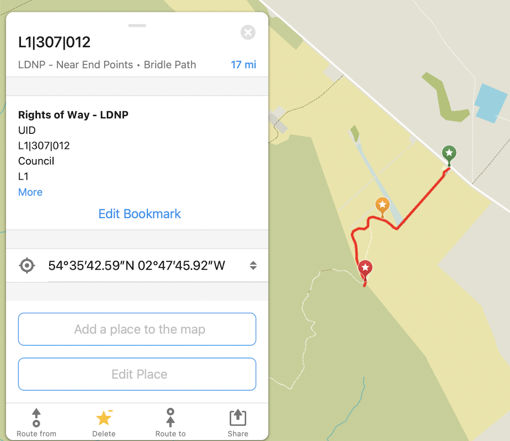
Can you just select a line
?
Beta Was this translation helpful? Give feedback.
All reactions